Aerial Surveys
 - Copy.jpg)
Aerial survey is a form of collection of geographical information using airborne vehicles. The collection of information can be made using different technologies such as aerial photography, radar, laser or from remote sensing imagery using other bands of the electromagnetic spectrum, such as infrared, gamma, or ultraviolet. Aerial surveys offer a wide-range of applications.
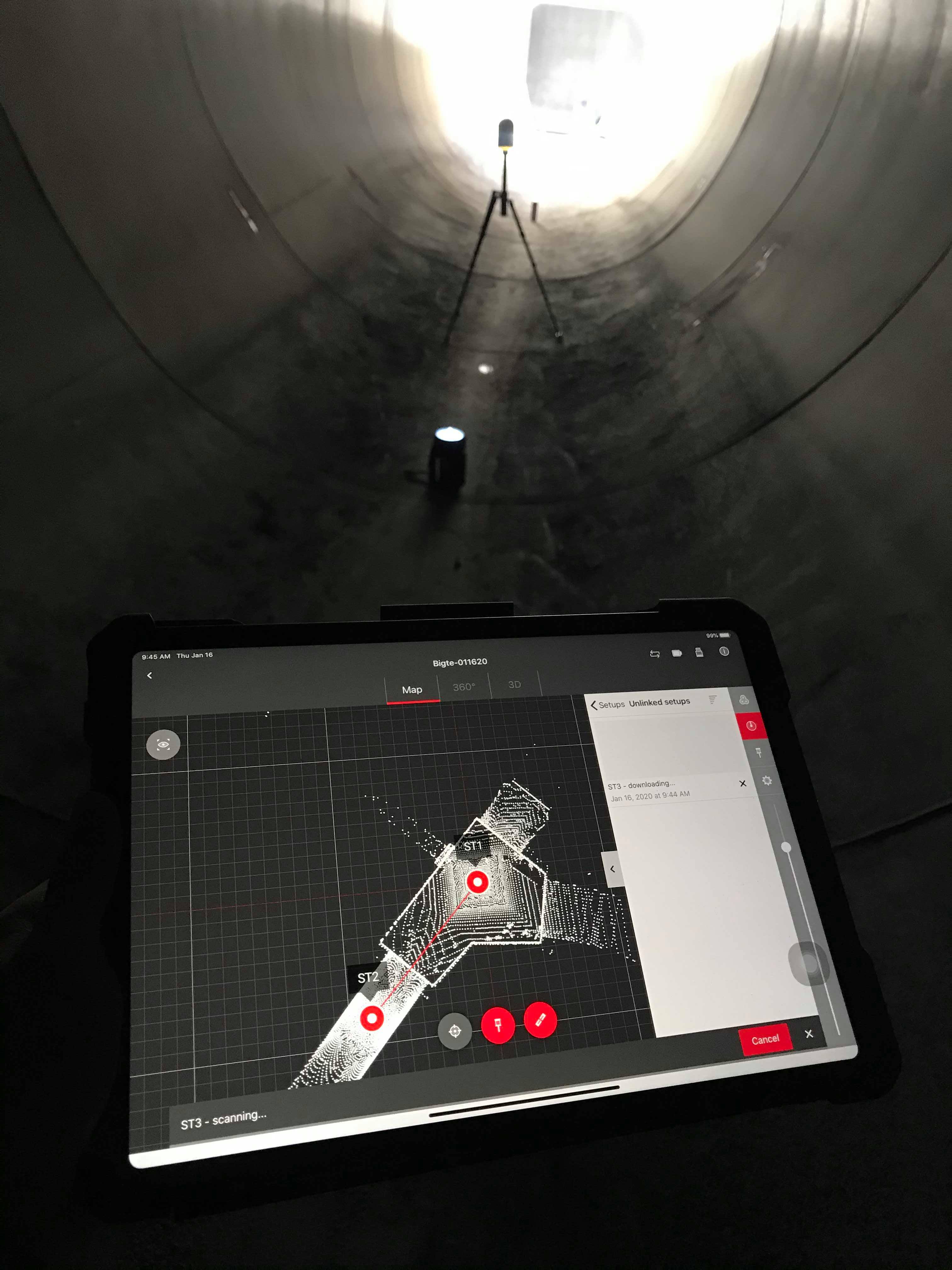
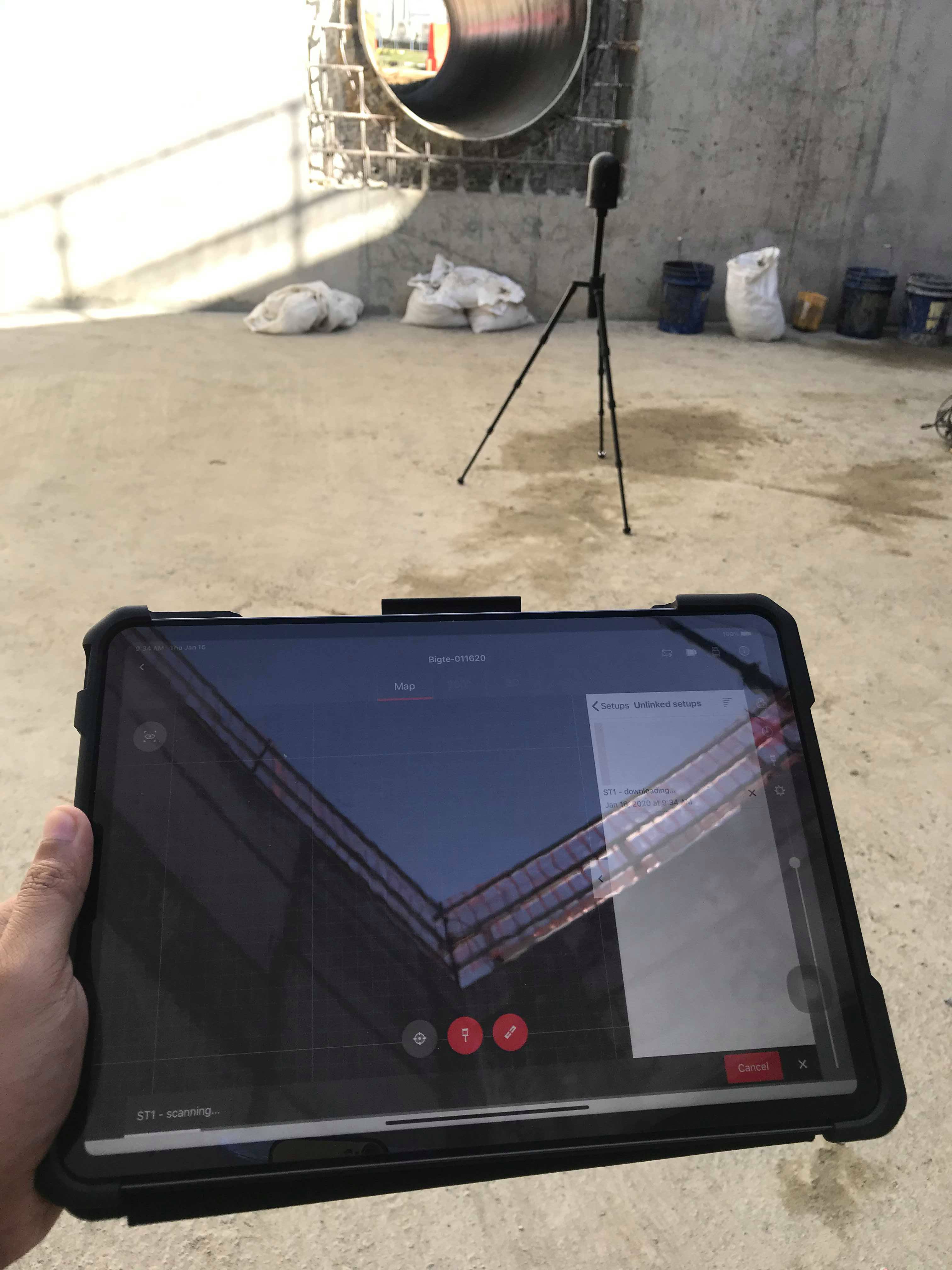
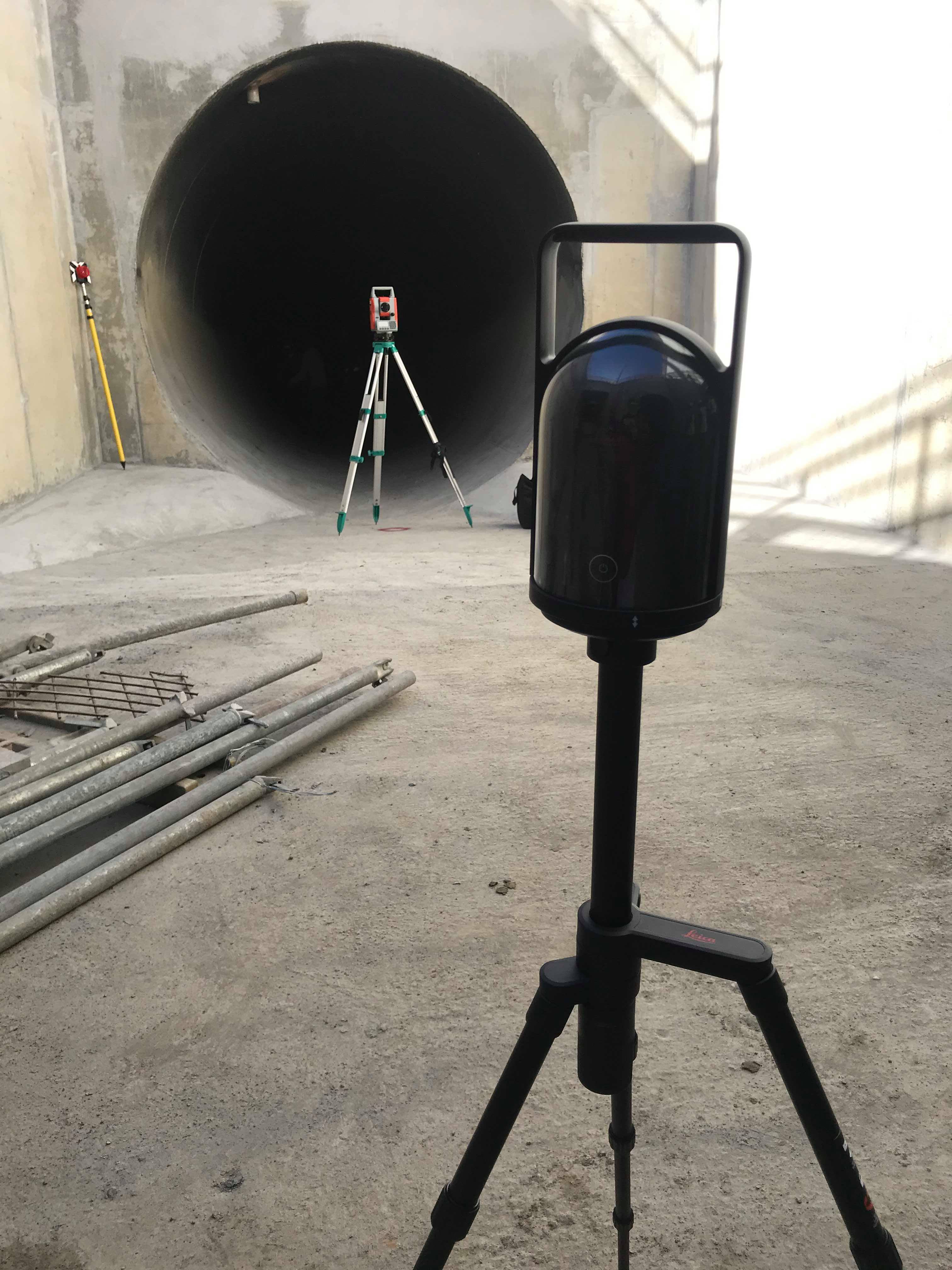
3D Laser Scanning
.jpg)
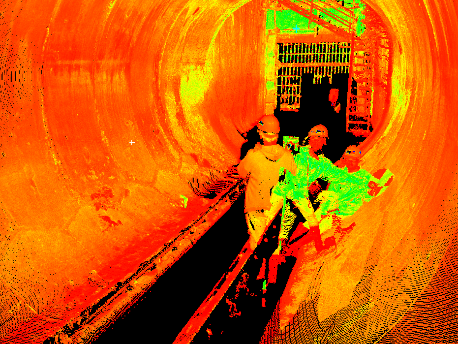
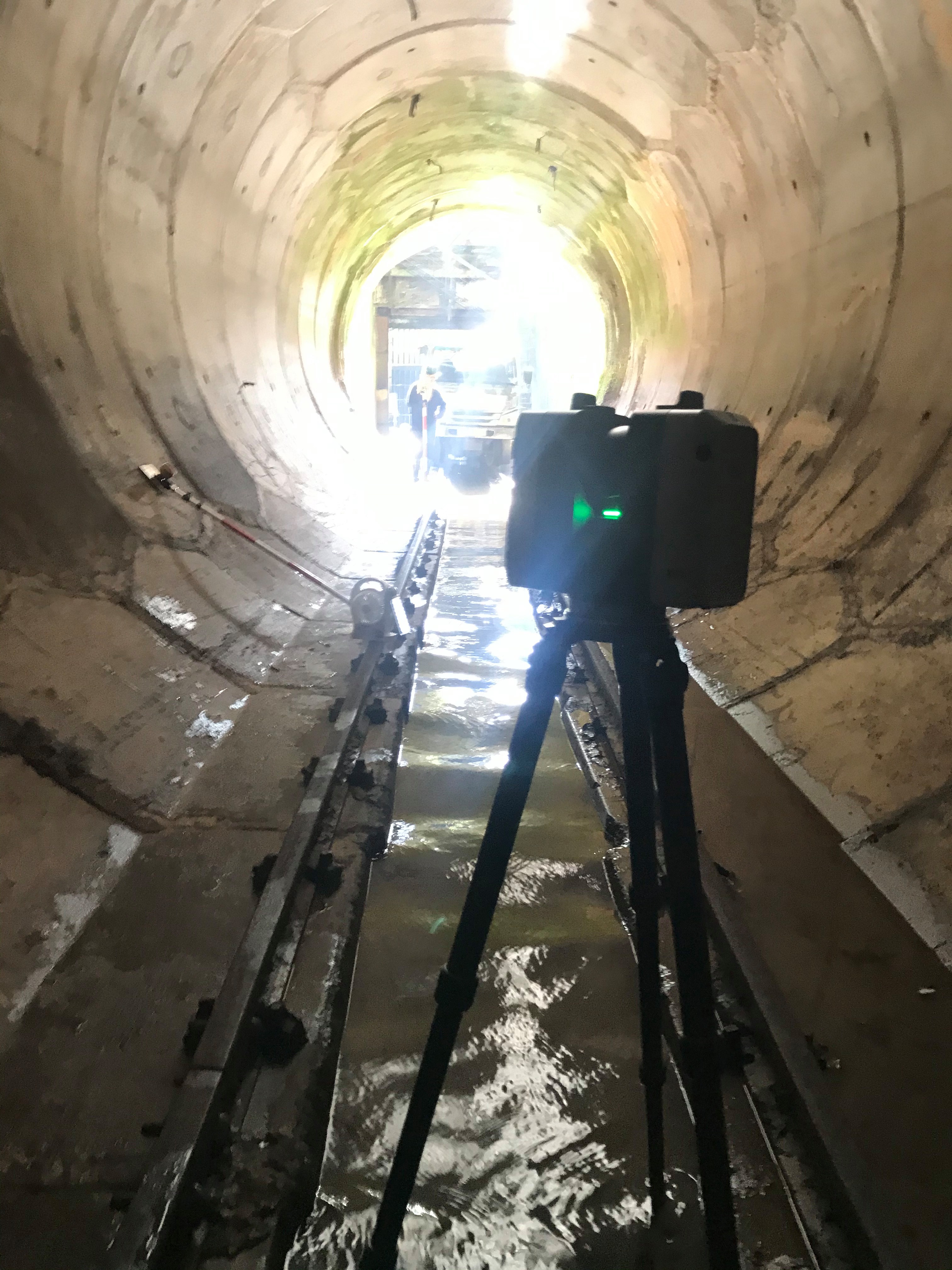
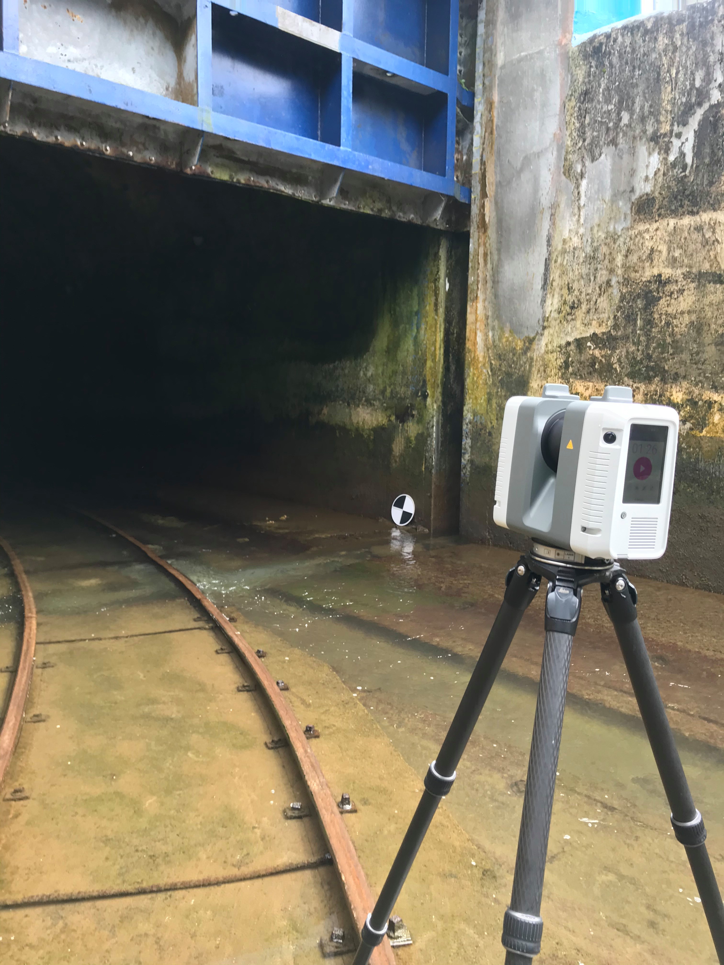
Laser scanning combines two sets of information to create a point cloud of an object’s surface: data from a laser being shone on the object, and data from another sensor (typically a moving camera, or two stationary ones). The 3D survey points collected combine together to form a point cloud that represent the surface surveyed.
Construction Surveys
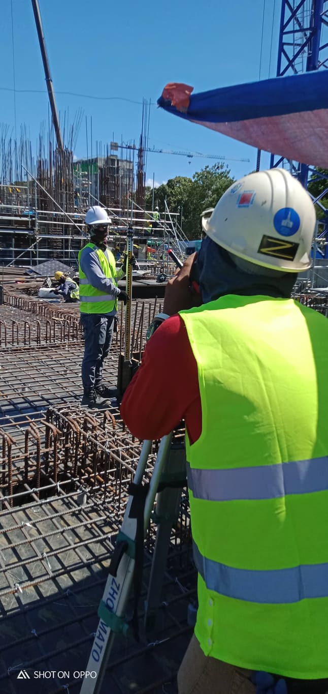
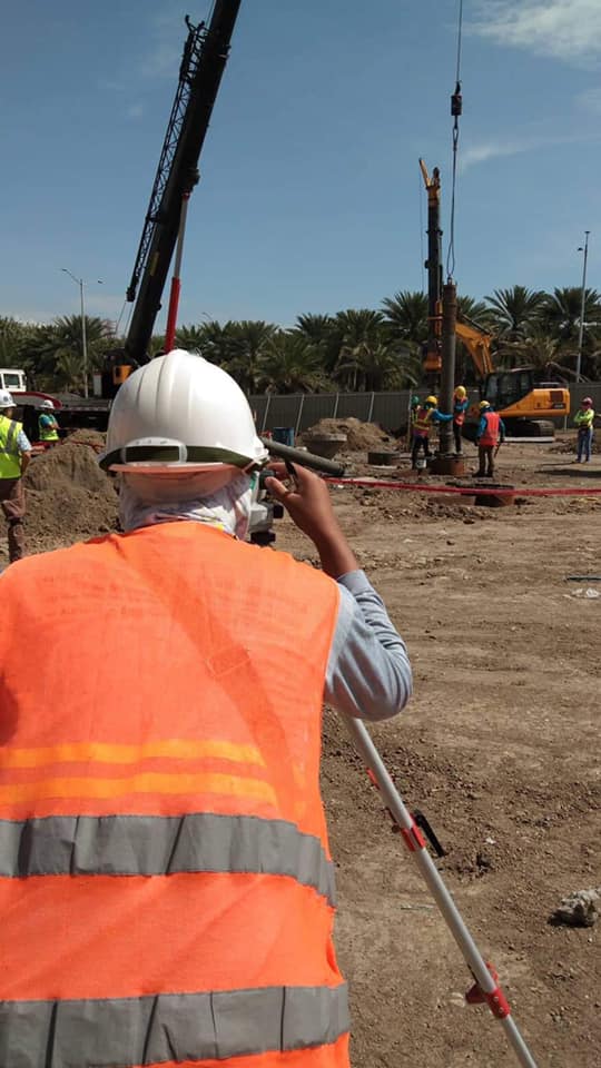
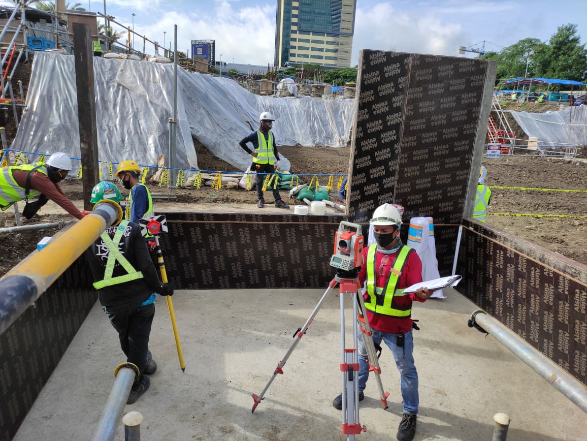
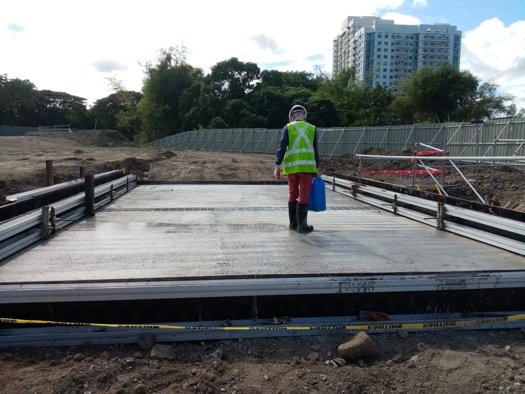
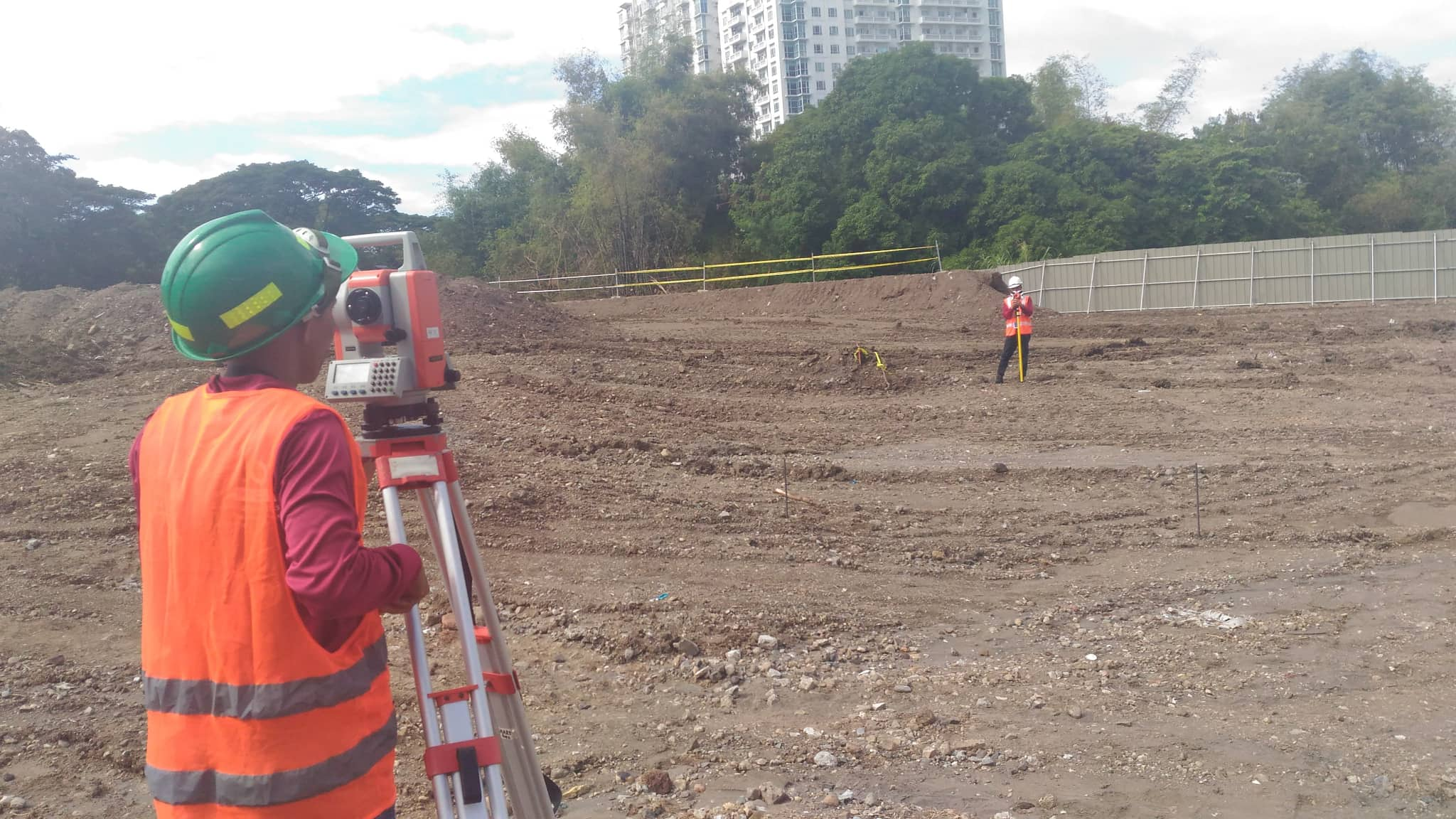
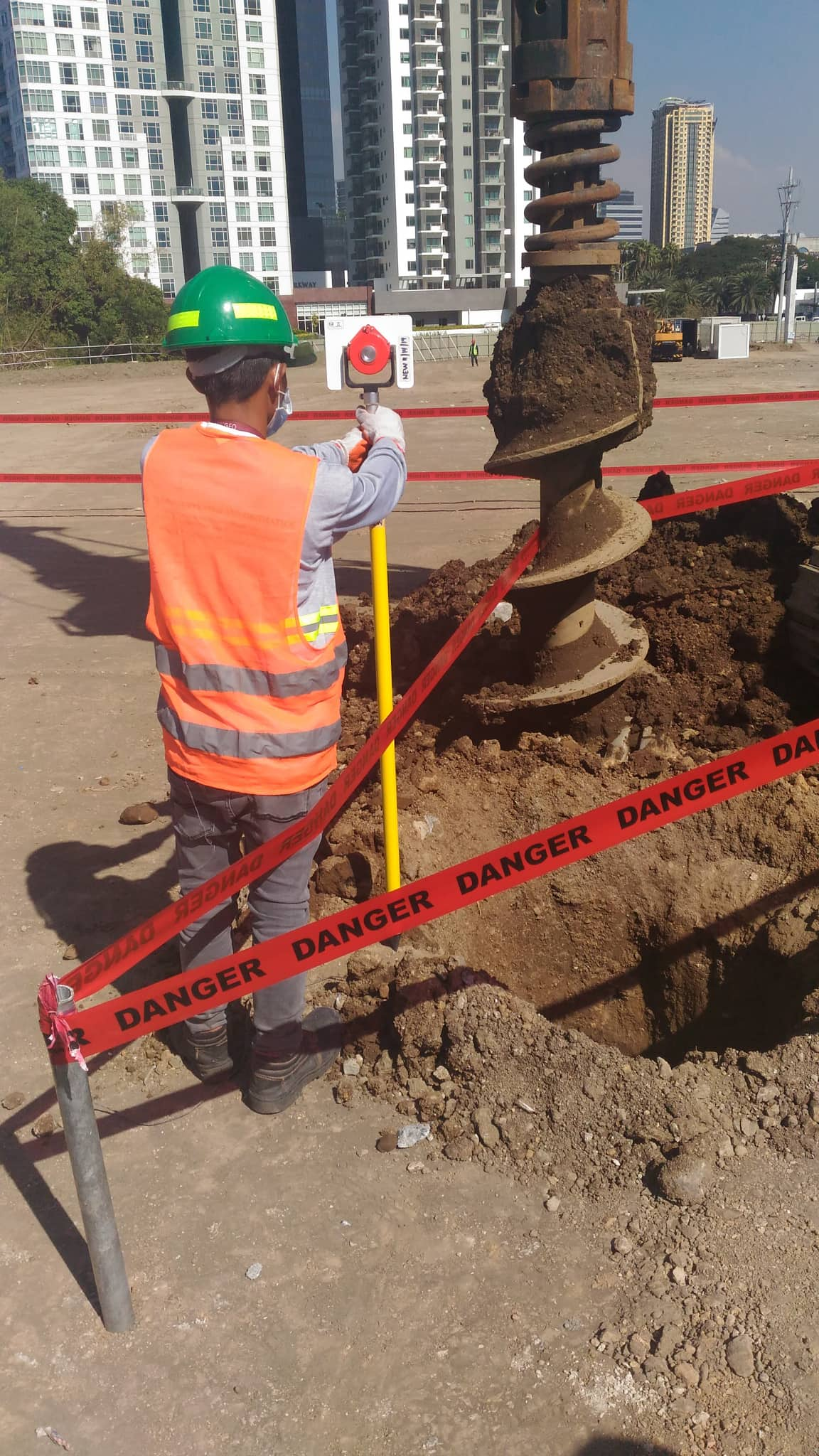
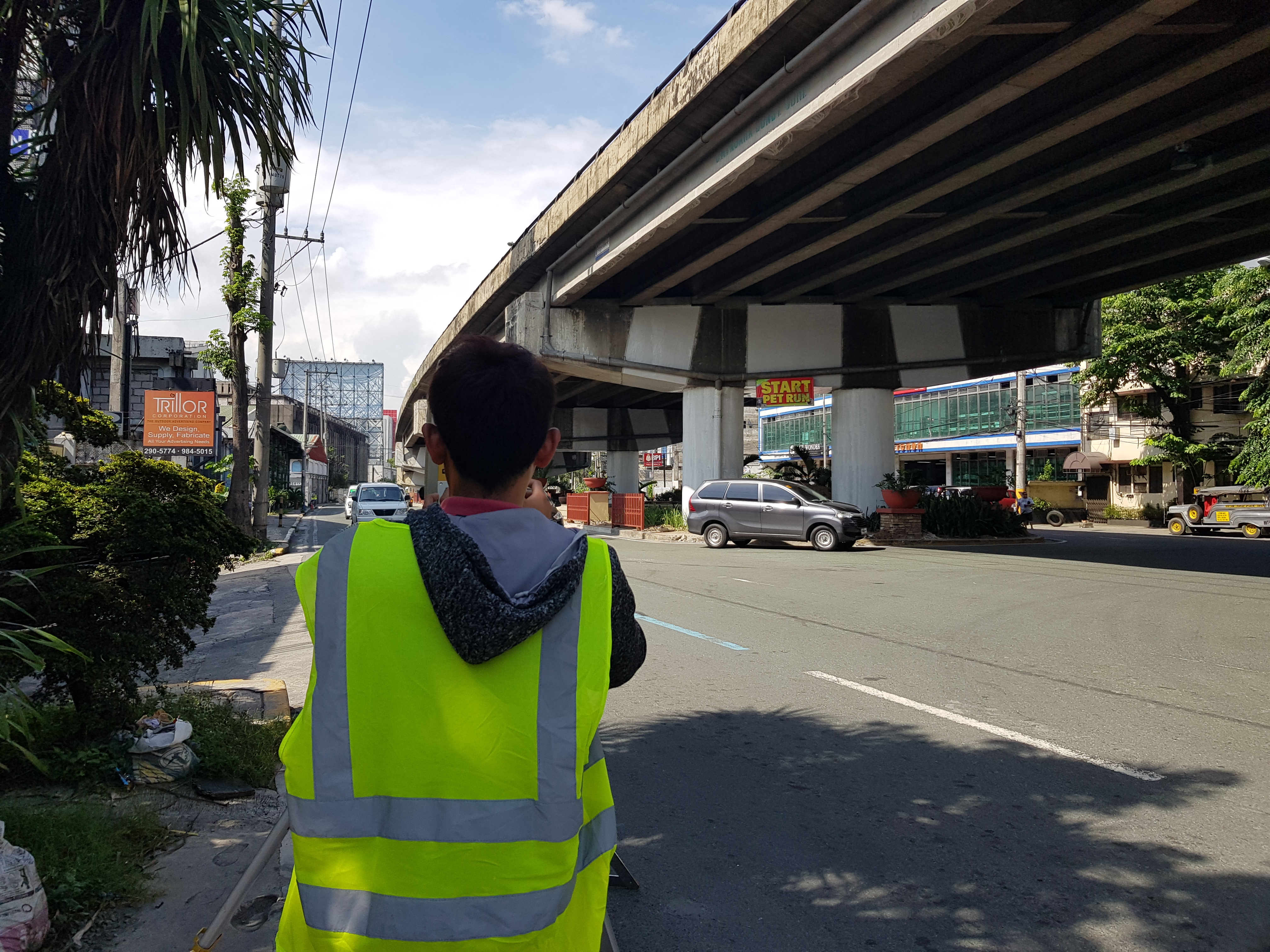
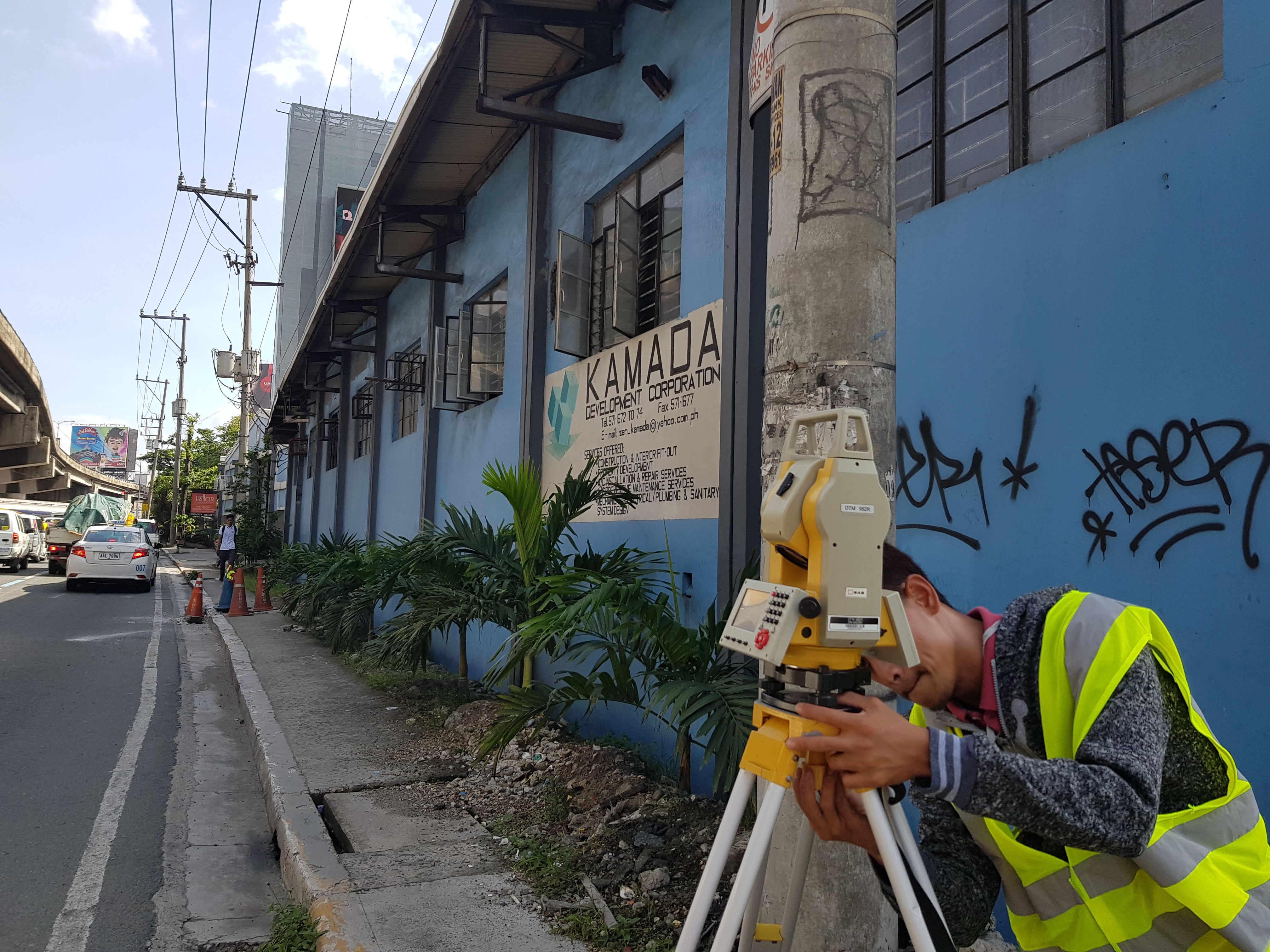
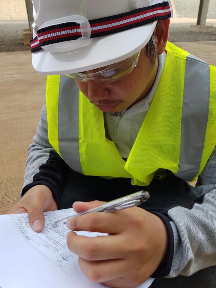
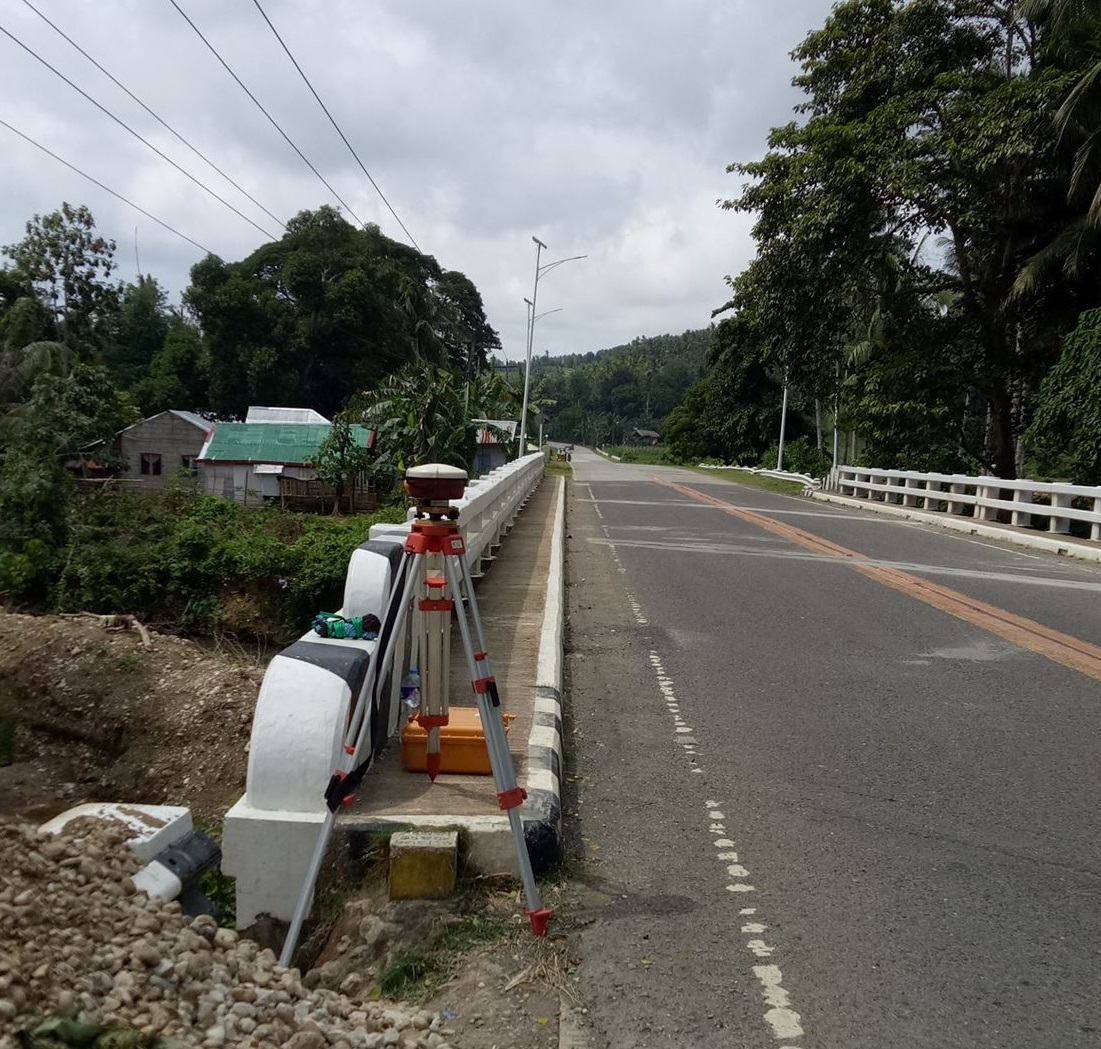
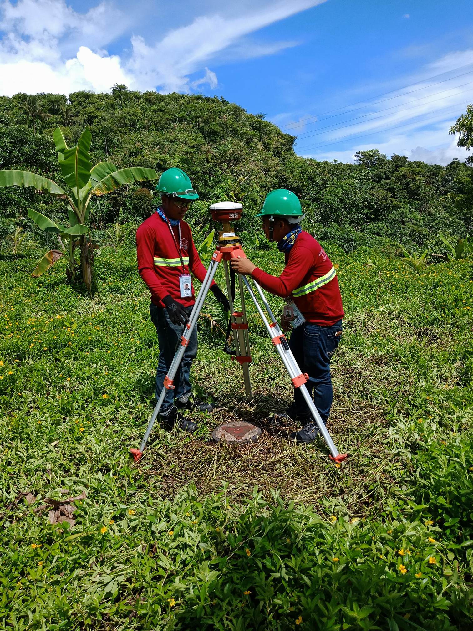
Construction surveys are used to establish or mark the desired position and/or elevation of building corners, roads, sidewalks, or utilities, as per engineering design. It is also done to monitor construction progress and as reference for future on-site development.
Underground Utility Survey using Ground Penetrating Radar (GPR)

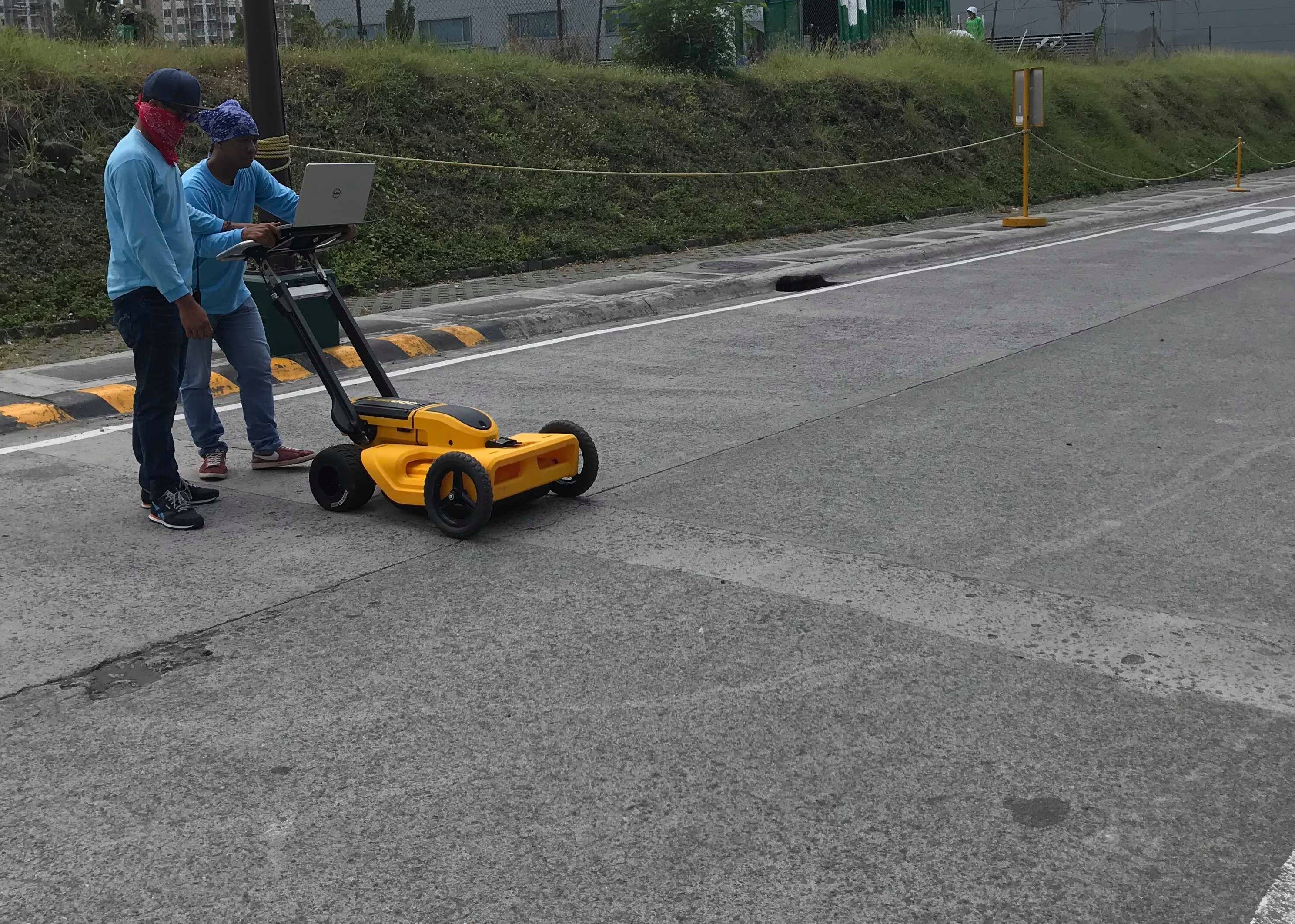
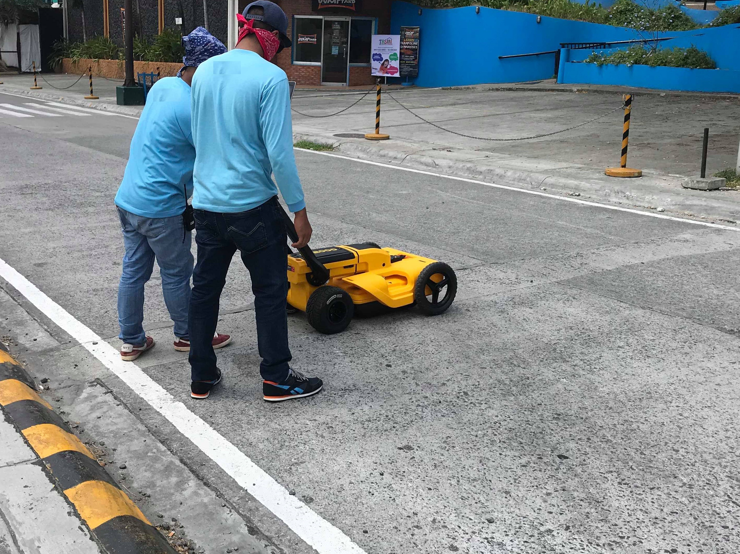
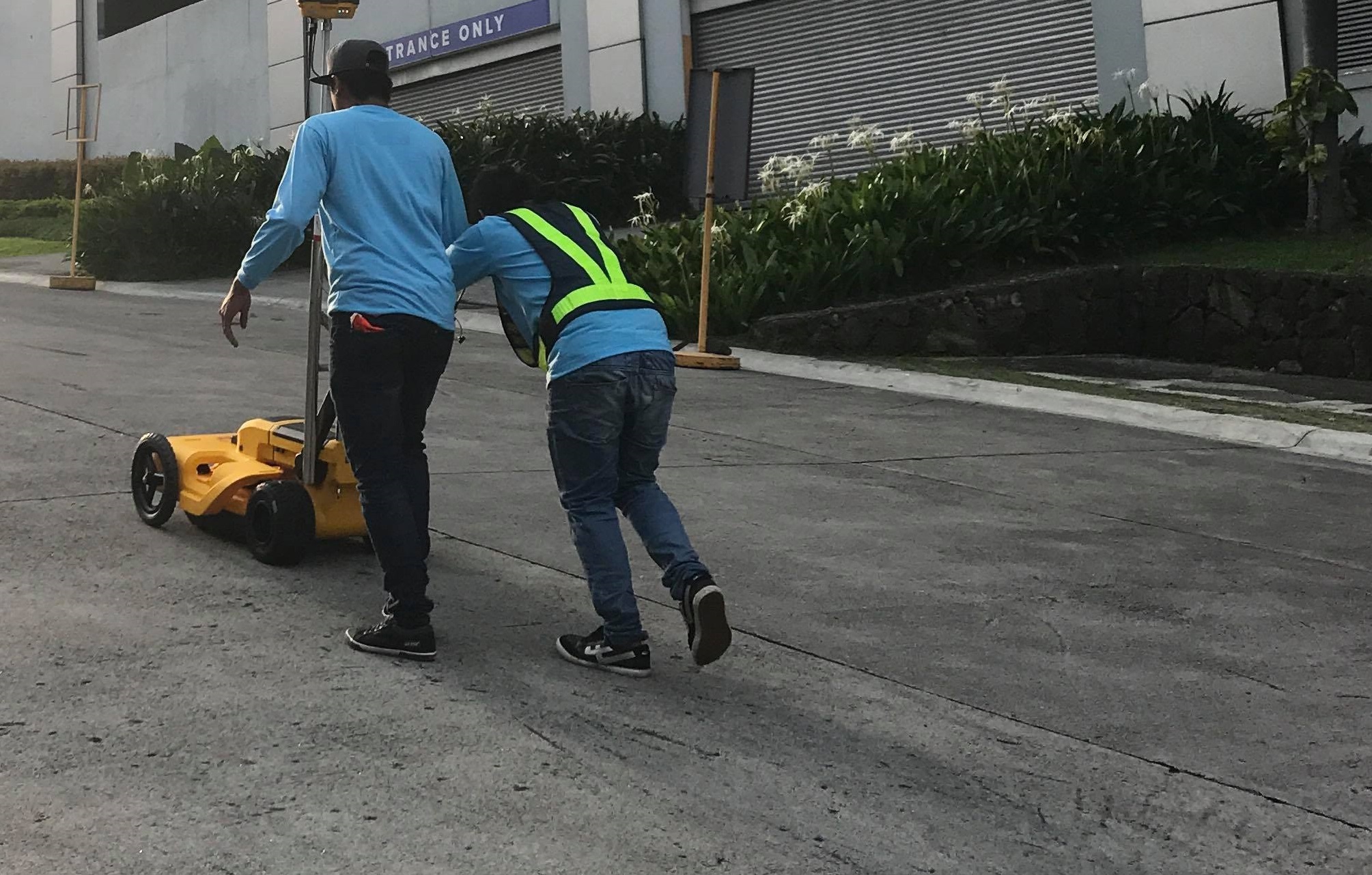
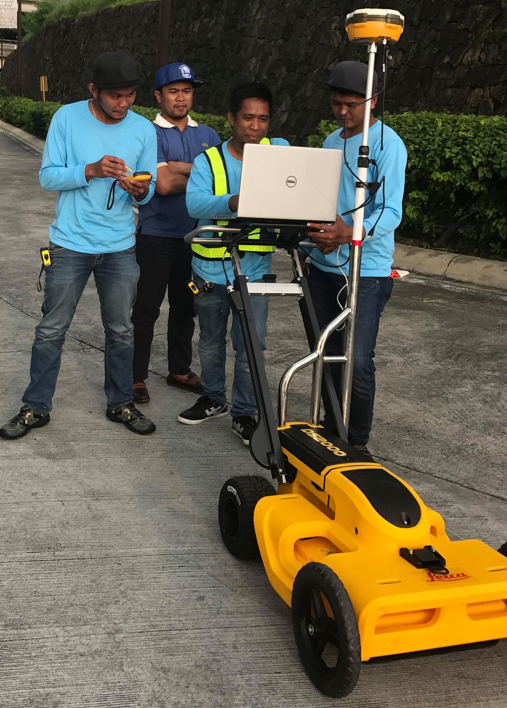
Determination of buried plumbing utilities and services such as pipes, manholes, drainages, water supply and sewer systems; and electrical utilities and services comprising metallic and non- metallic services including power supply, telecommunications, fiber optics, and other linear targets
Objectives:
- Reduce the risk of digging and minimizes disruption of the general public
- Identify safe areas for excavation or confirm the safest route for proposed utilities
Subdivision Surveys and Approval
Various projects on different locations such as:
- Caloocan City
- Mandaluyong City
- Quezon City
- Manila City
- Cabiao, Nueva Ecija
- Bacoor, Cavite
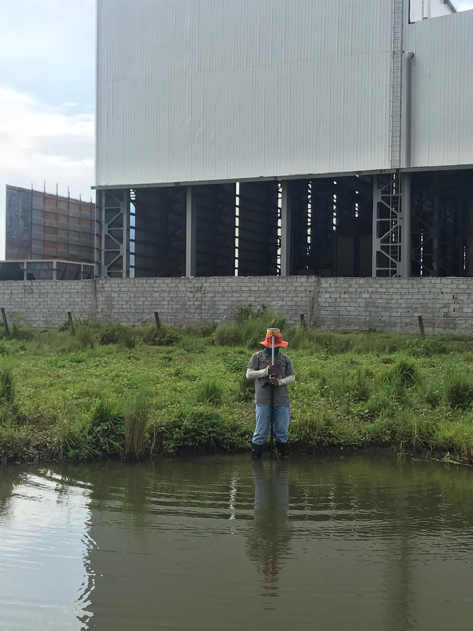
Relocation Surveys
Various projects on different locations such as:
- Caloocan City
- Pantabangan, Nueva Ecija
- Pasig City
- Subic, Zambales
- Makati City
- Valenzuela City
- Lucena City, Quezon
- Dagupan City, Pangasinan
- Lipa City, Batangas
- San Juan City
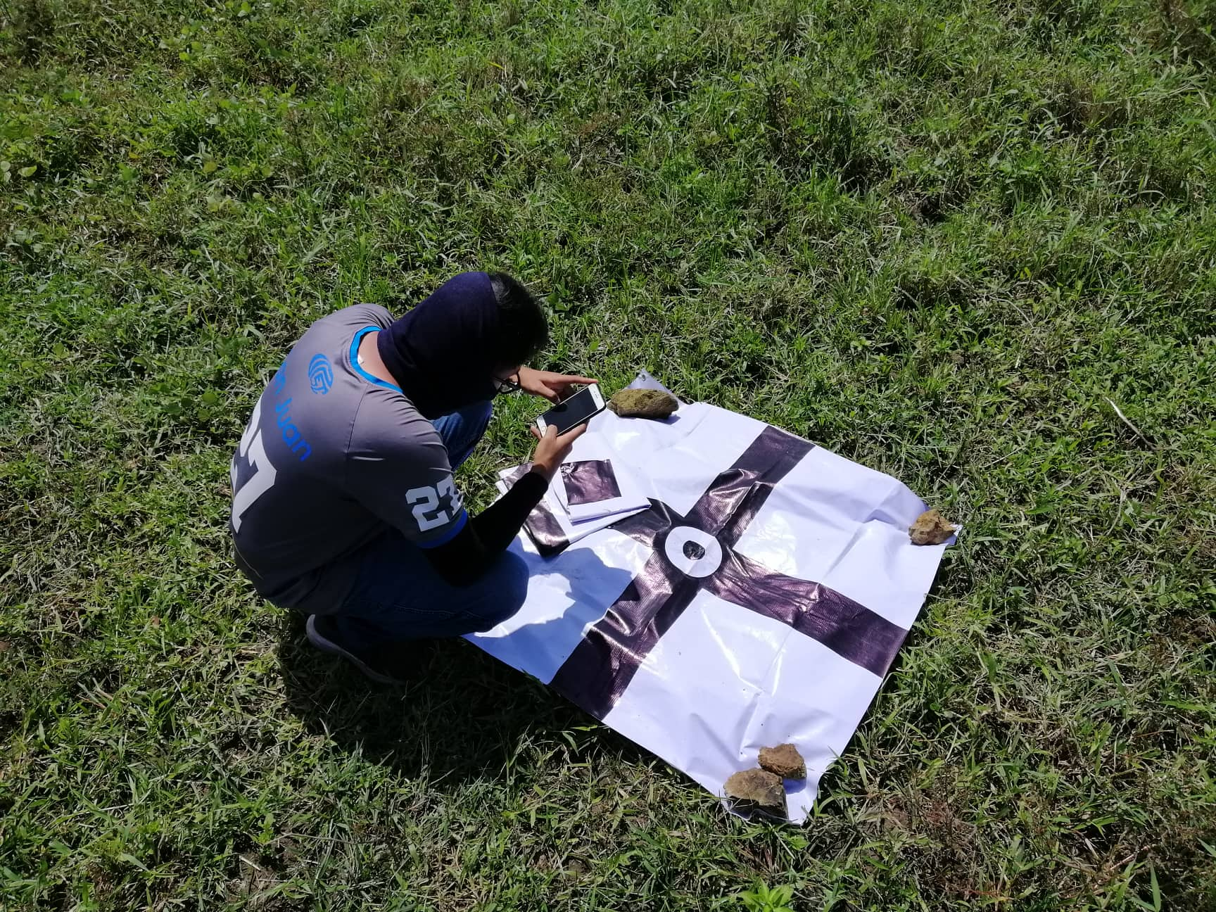
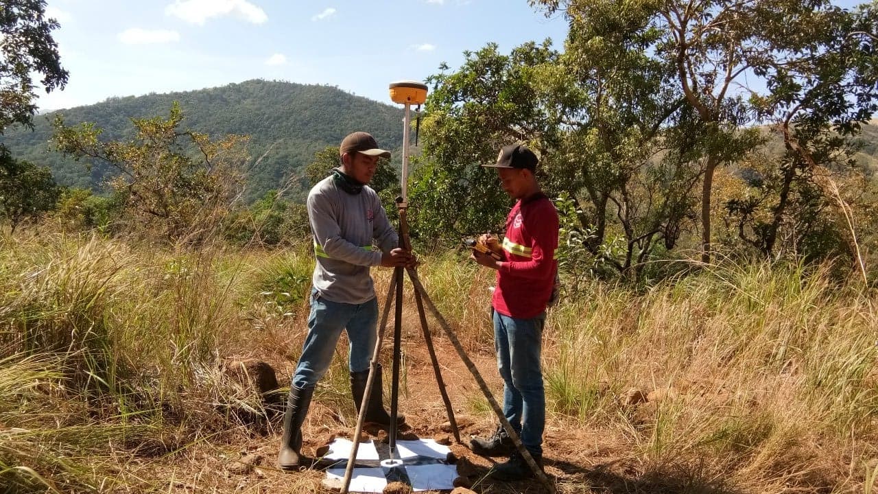
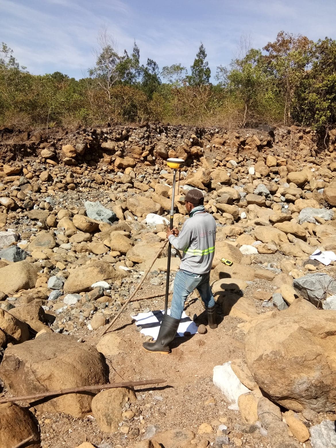
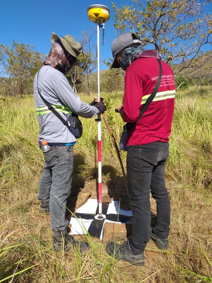
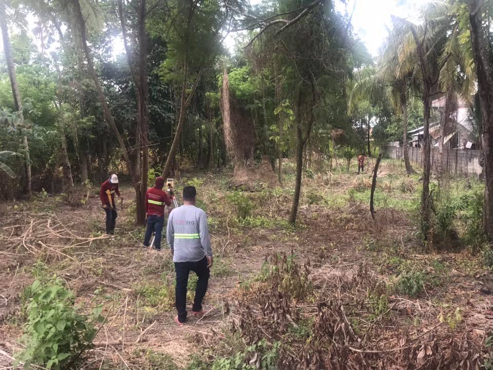
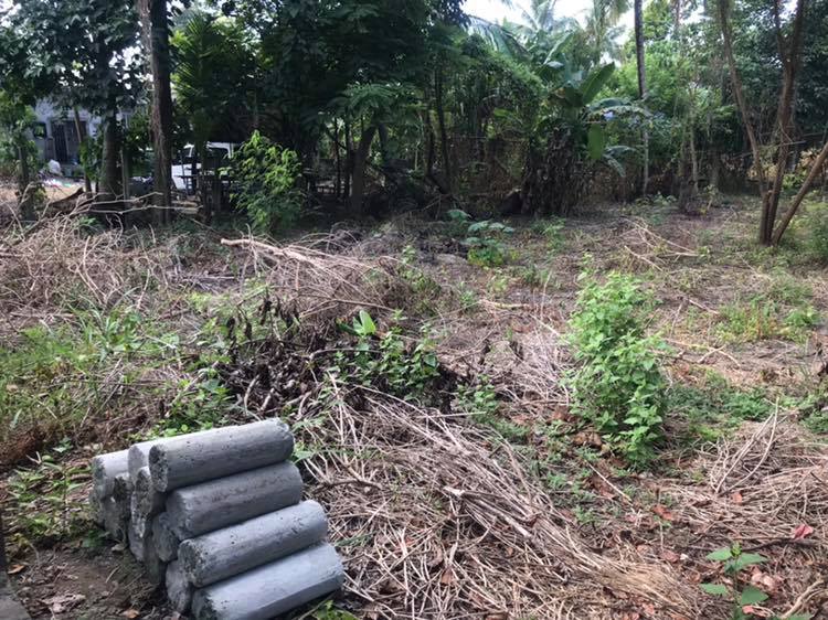
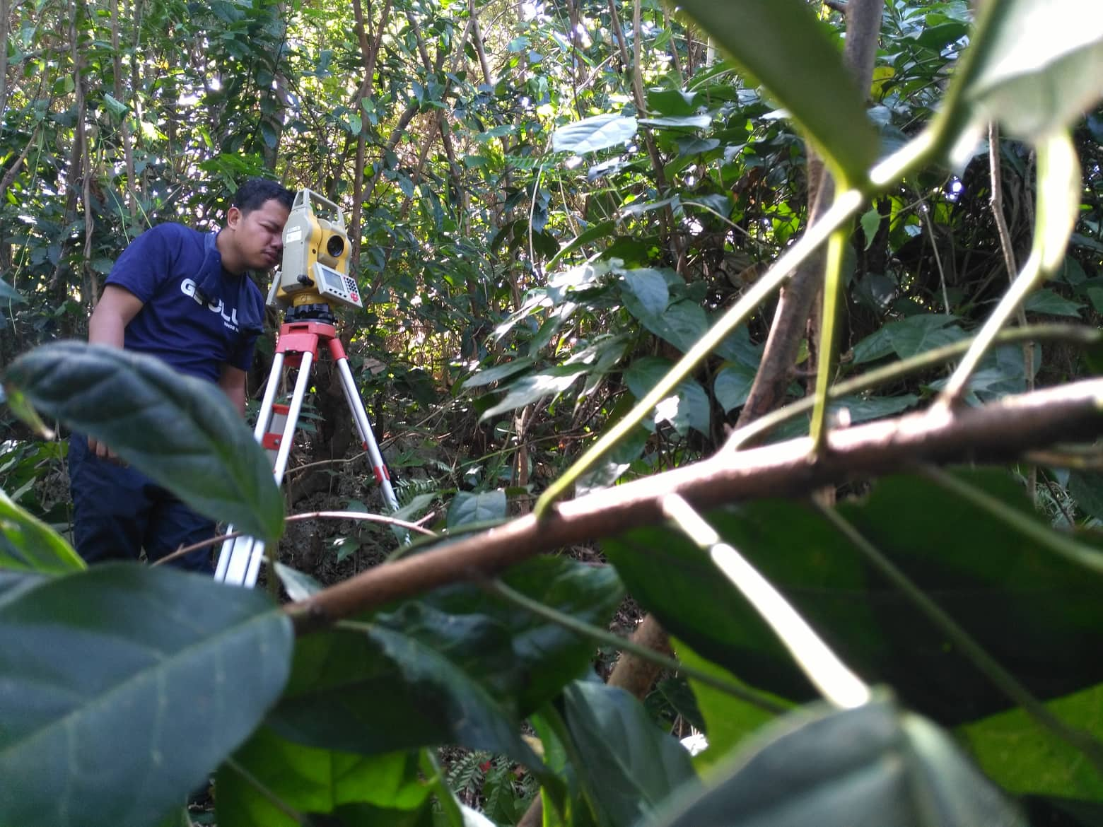
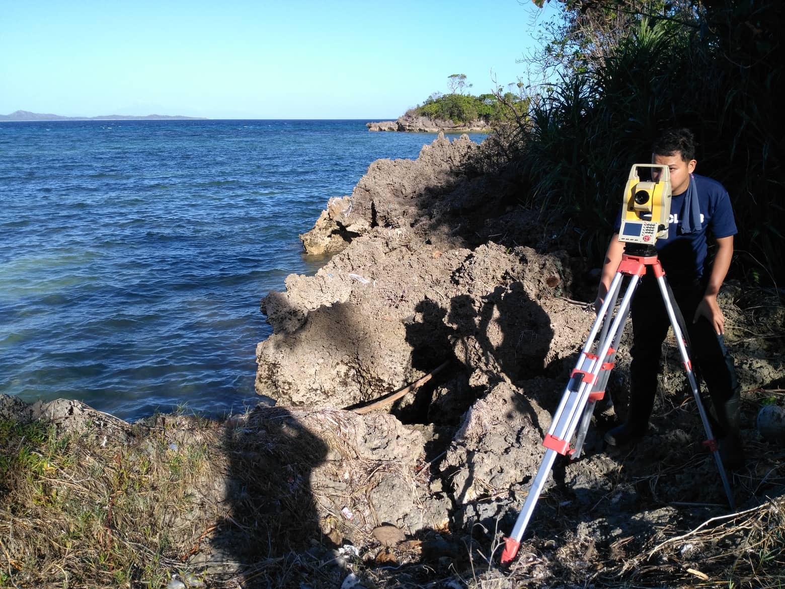
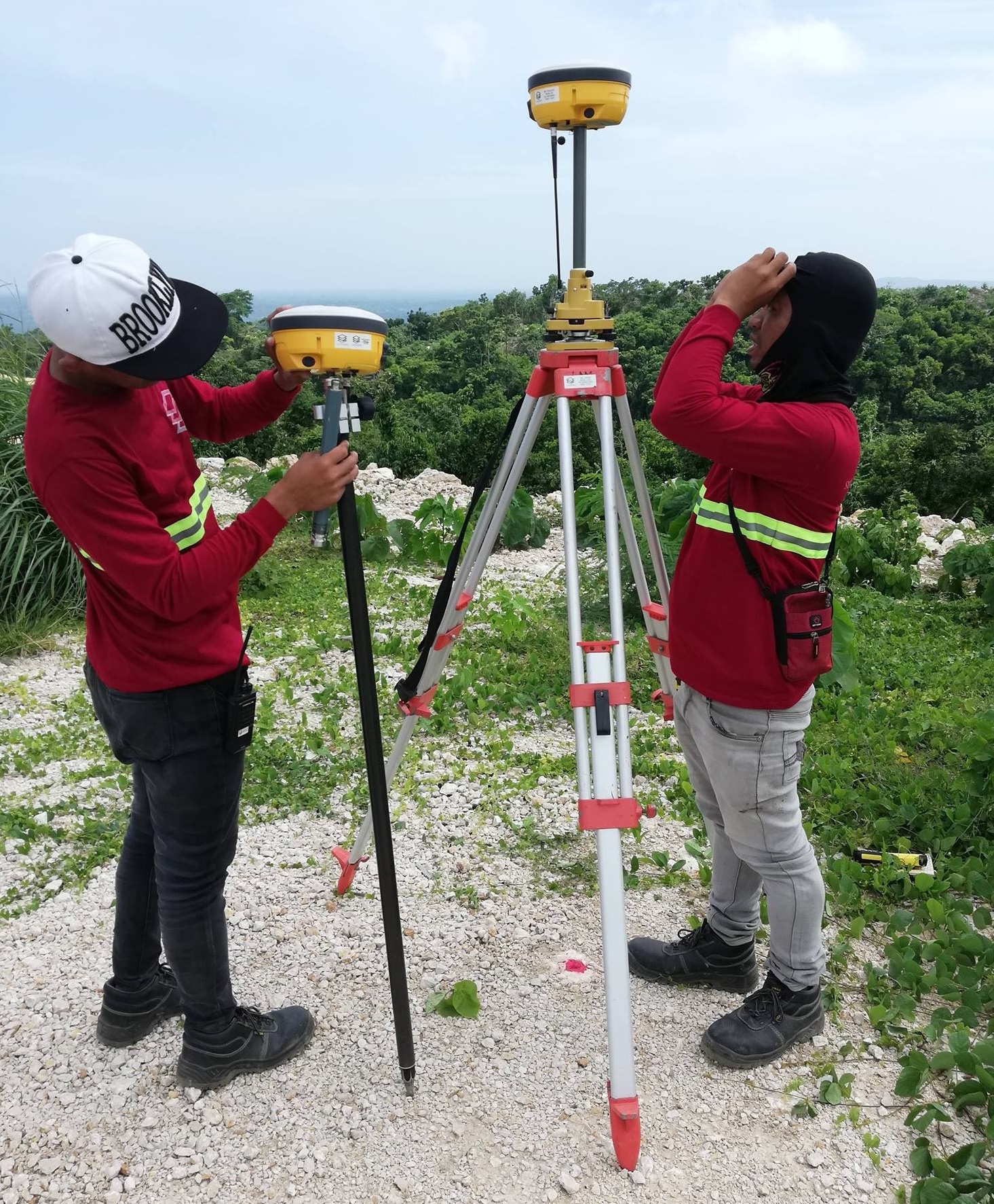
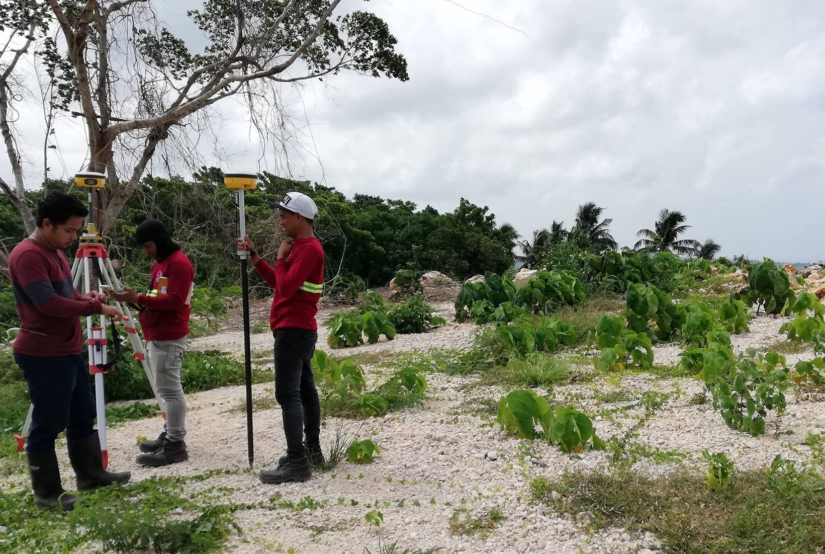
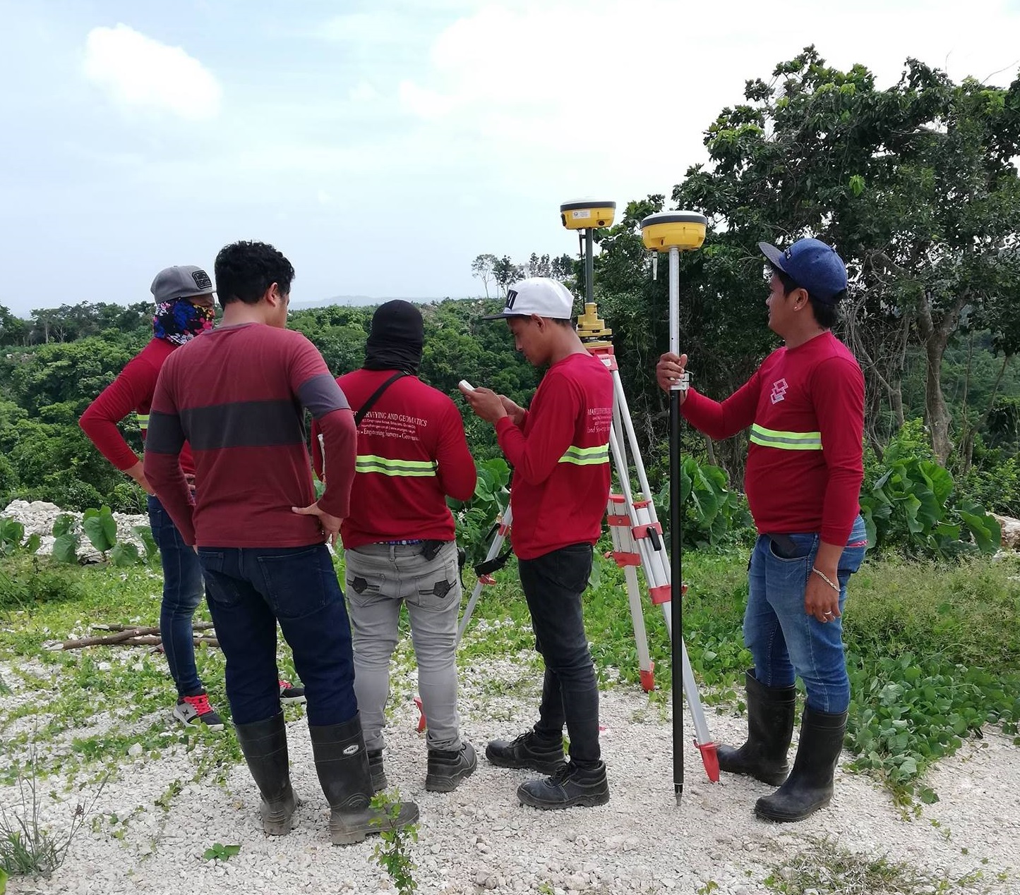
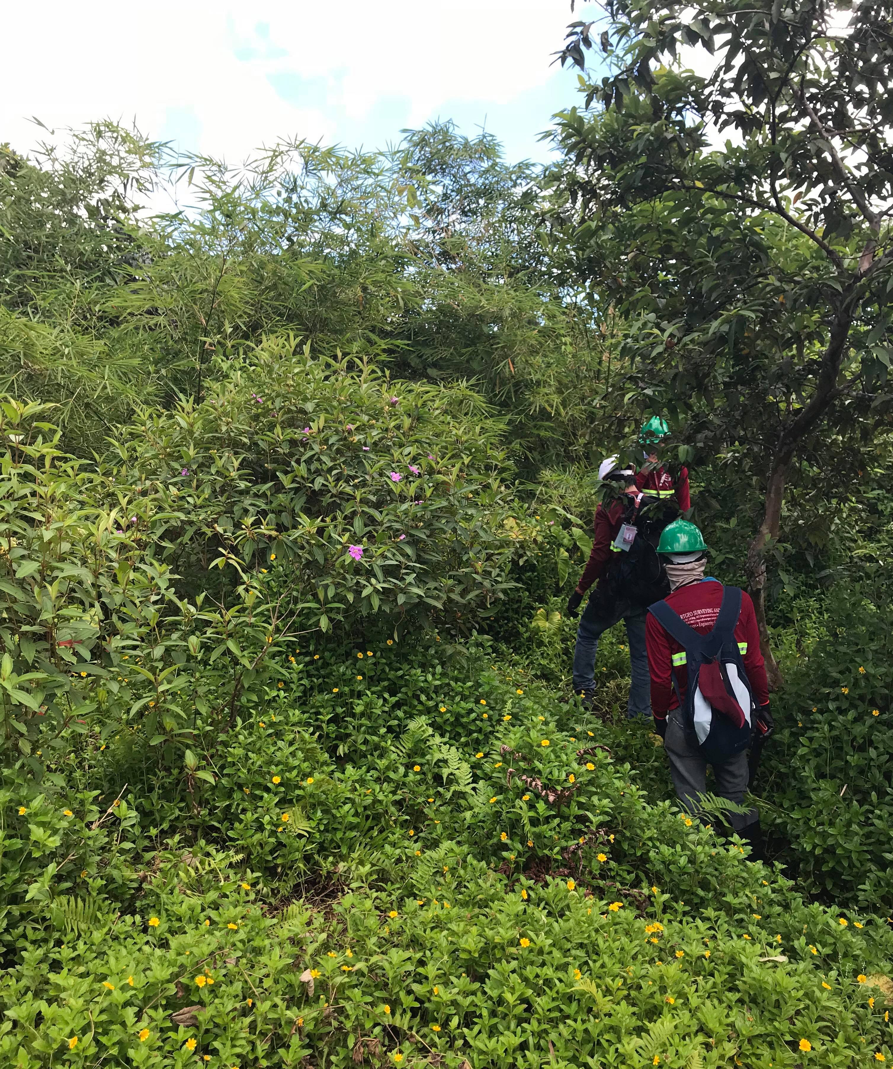
Topographic Surveys
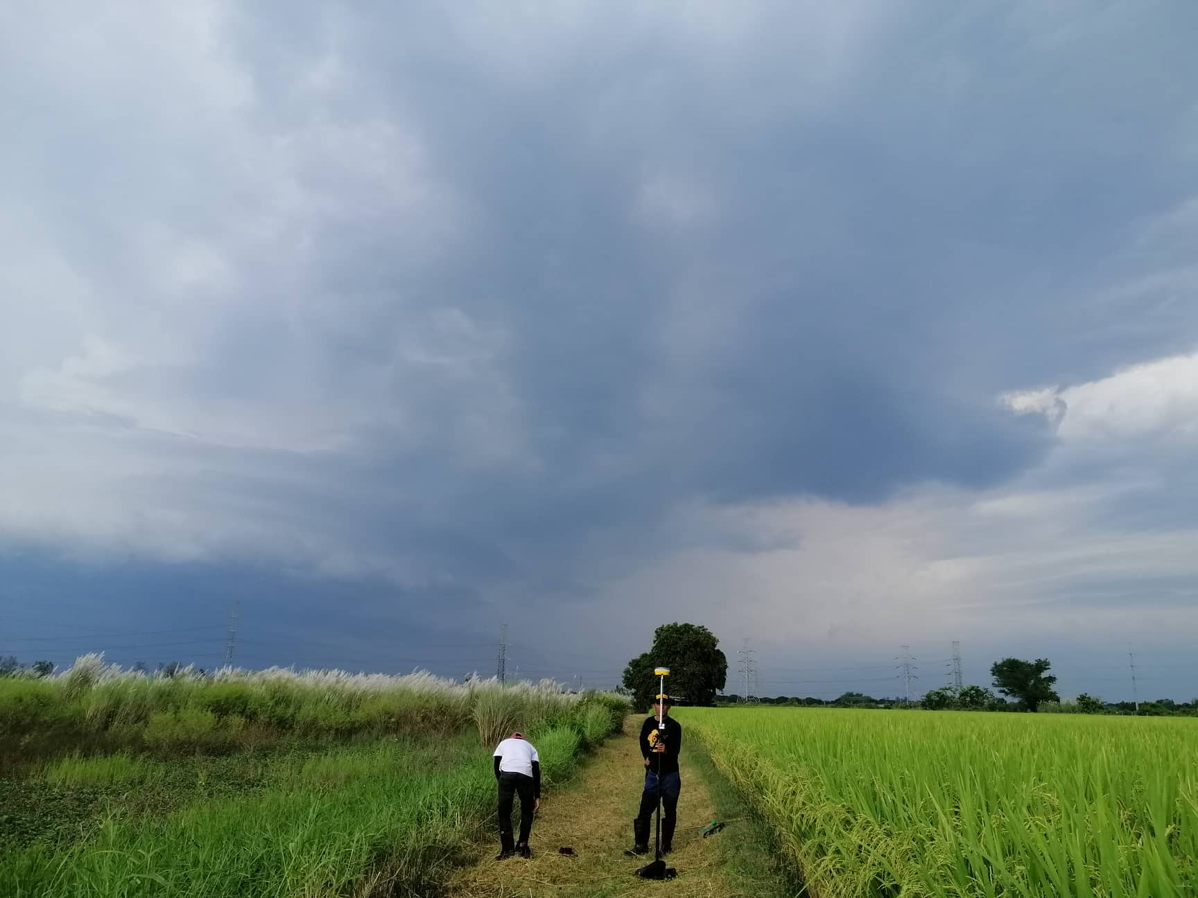
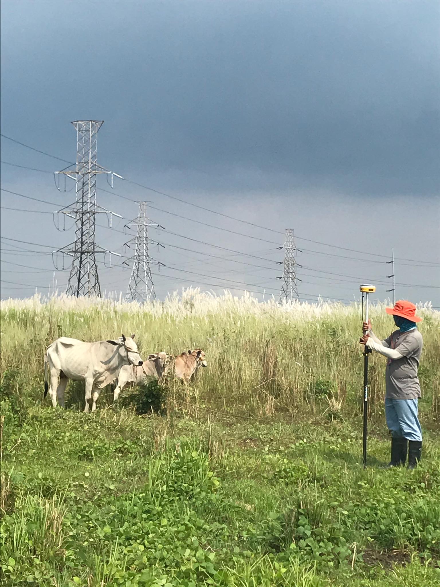
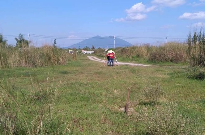
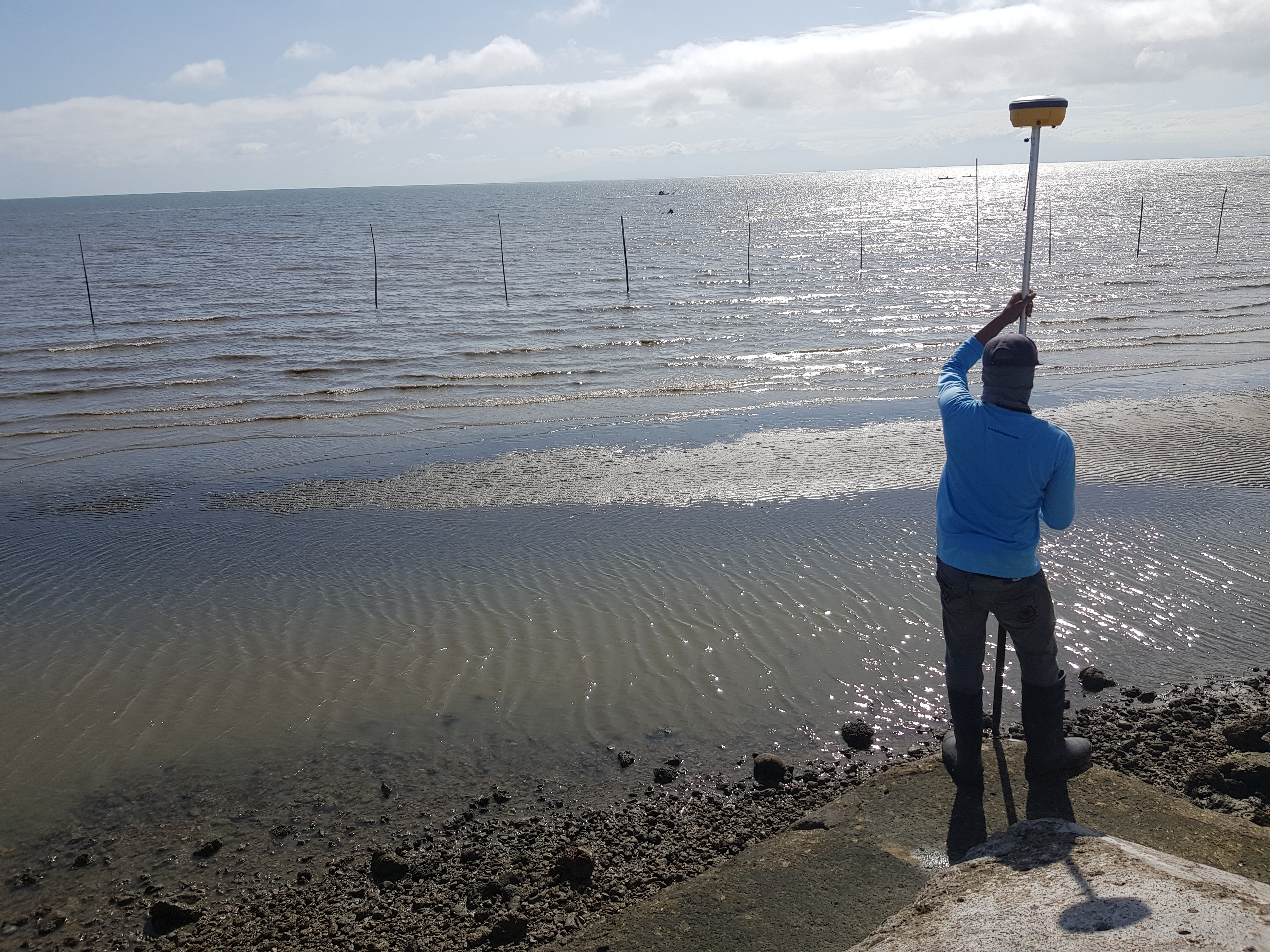
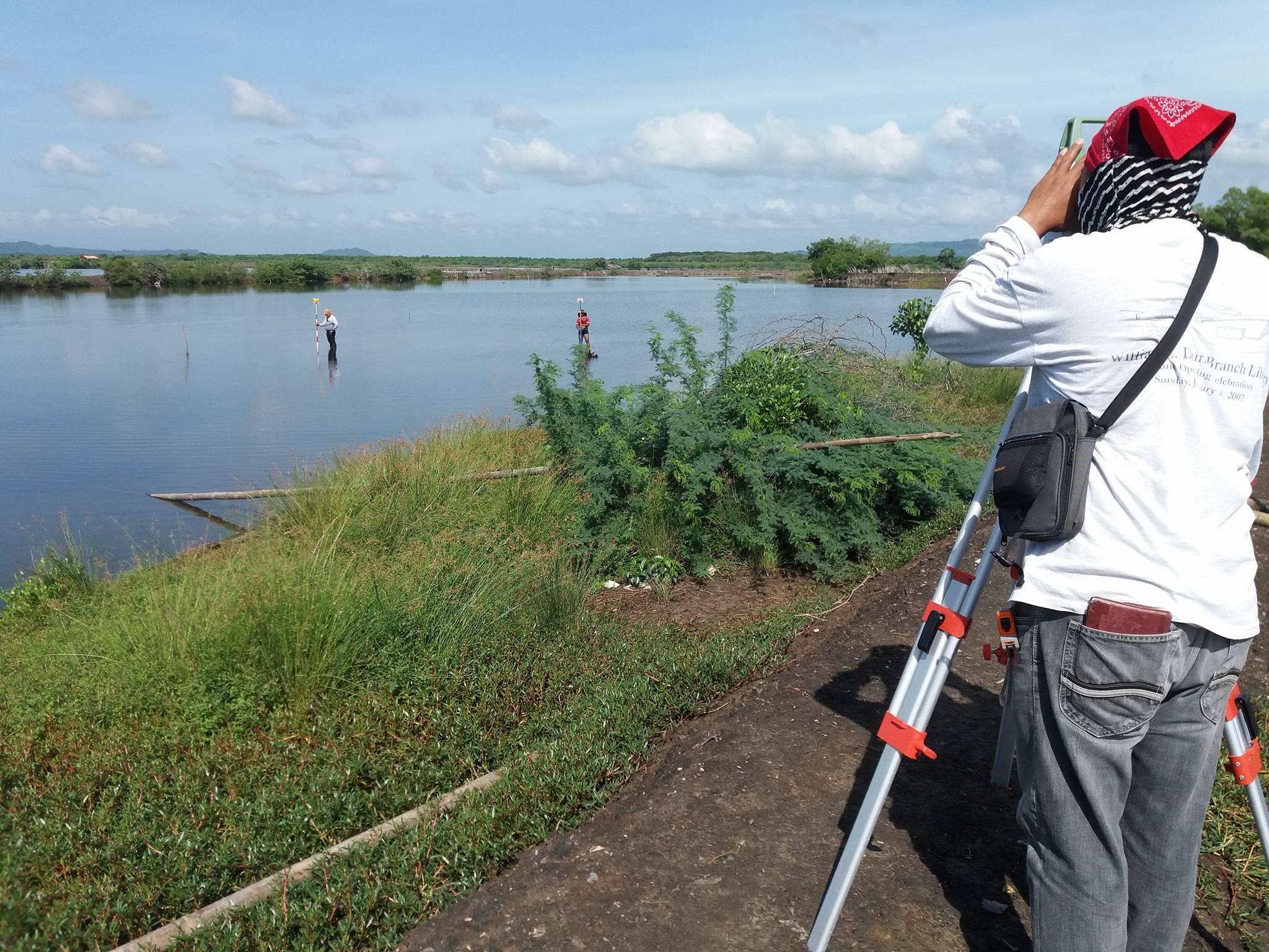
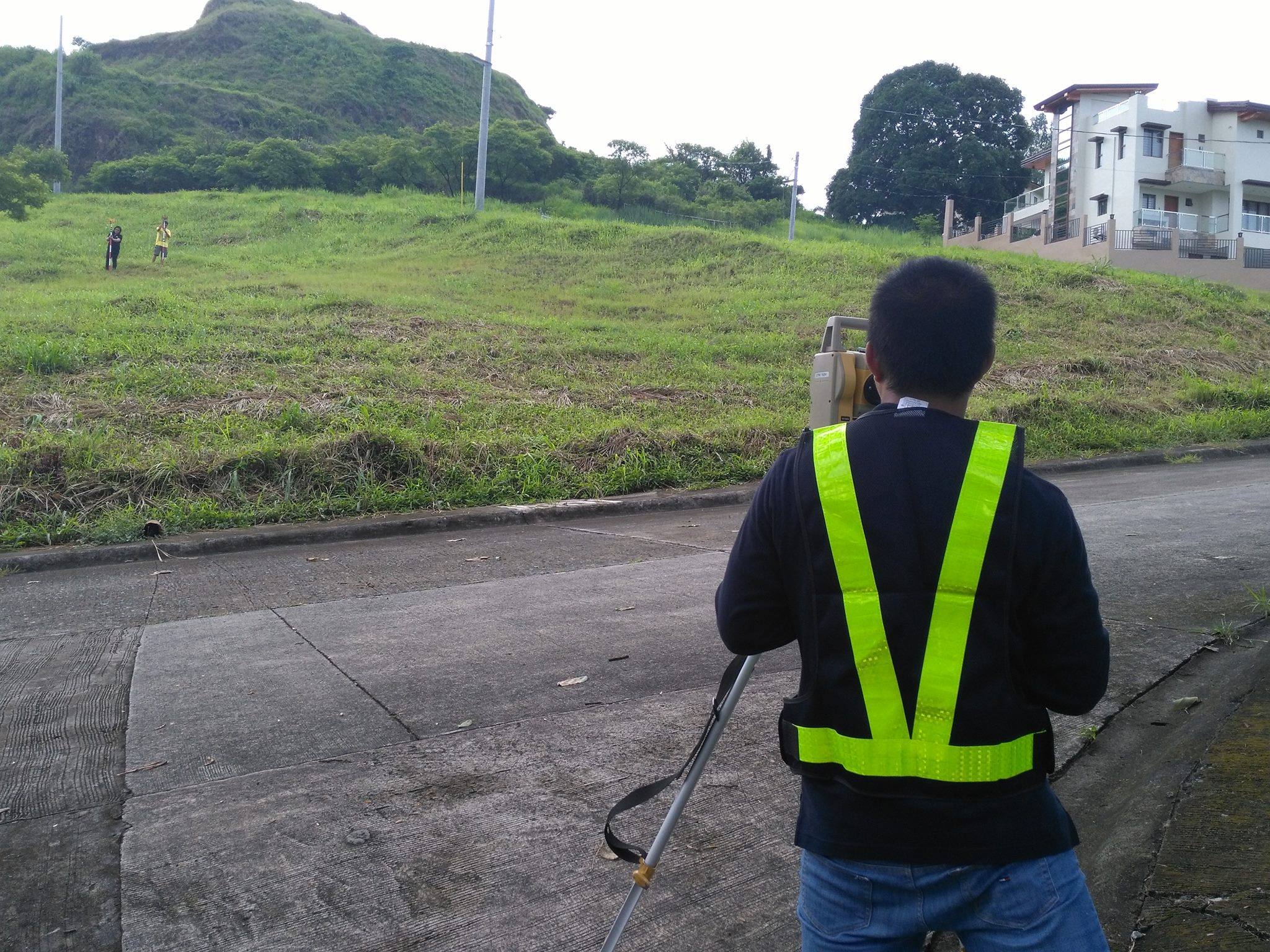
Various projects on different locations such as:
- Carmona, Cavite
- Genetrial Trias, Cavite
- Muntinlupa City
- Barotac Nuevo, Iloilo
- Taytay, Rizal
- Angeles City, Pampanga
- Dagupan City, Pangasinan
- Romblon, Carabao Island
- Santa Barbara, Pangasinan
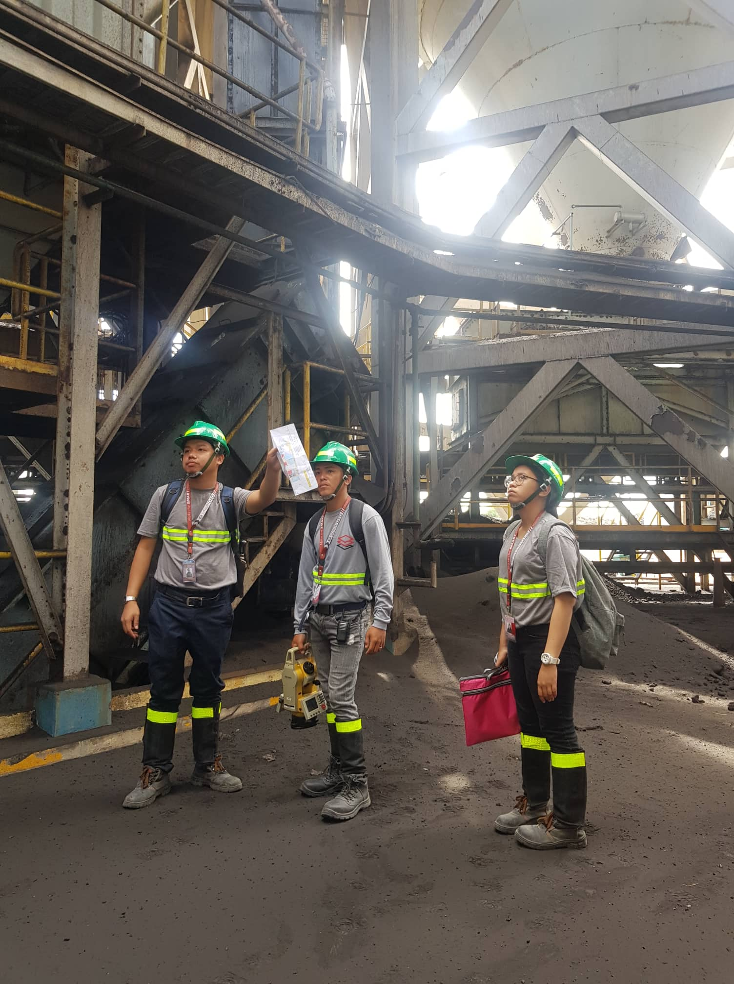
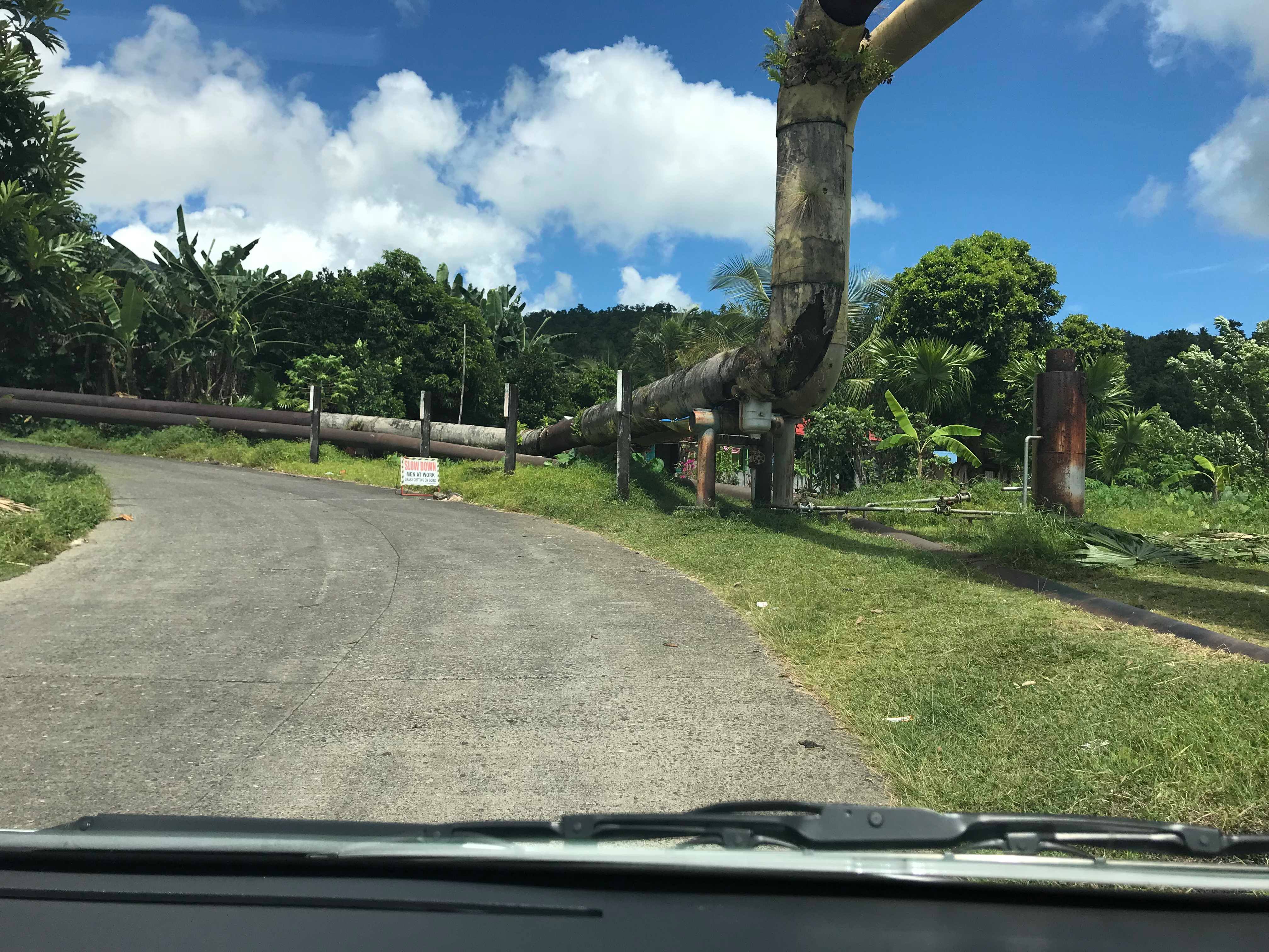
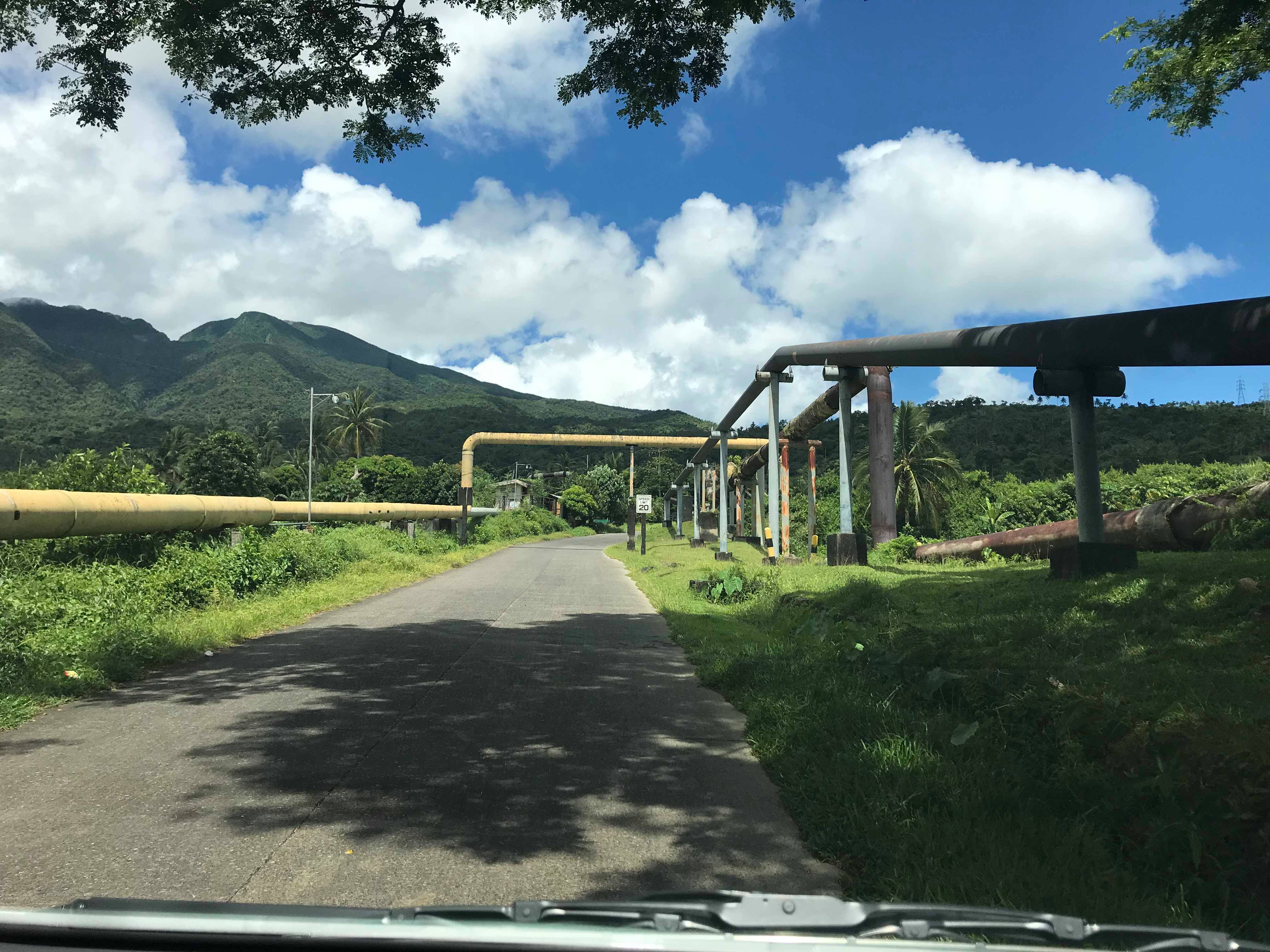
As-built Survey of Heavy Machinery in a Coal Plant
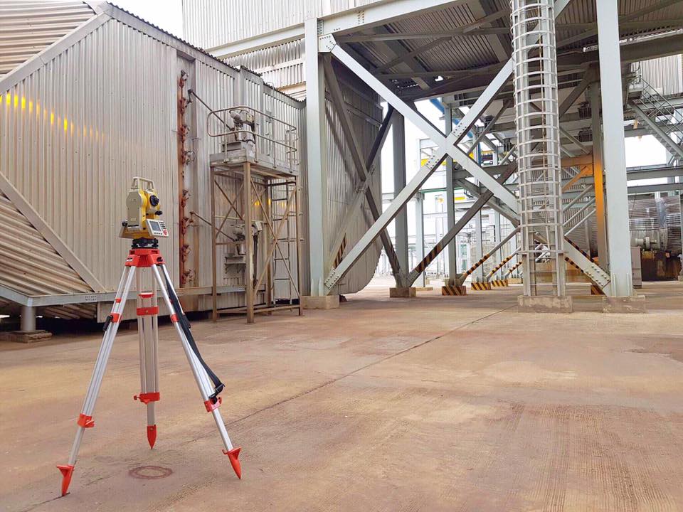
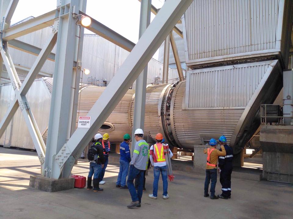
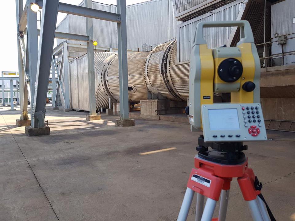
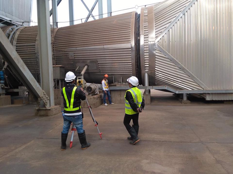
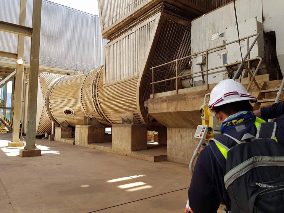
As-built survey for pre-construction and installation of new plant machinery.
Geodetic Control Survey for Civil Aviation Authority of the Philippines (CAAP) Height Clearance Permit
CAAP is the government agency mandated to keep aviation complexes safe from structural obstructions. The Geodetic Survey covered the identification of maximum penetrations beyond the mathematical limit of height clearances.
Leveling and Gravity Survey
Precise observation of control points of a Geothermal site in the Philippines.